» Cartography

Cartography

Interactive maps and data visualizations serve as tools for exploring the intricate history of Jewish migration from the Middle East and North Africa to Italy in the latter half of the twentieth century. This approach allows the tracing of migration routes, the representation of diverse community histories, and individual experiences. The use of digital humanitiesto integrate data extracted from archival documents, personal narratives, and geographical data facilitates a deeper understanding of the cultural, social, and political forces that shaped this unique history of migration and resettlement.

This map traces the evolution of the Jewish presence in Milan throughout the twentieth century, also highlighting the role of successive waves of migration that shaped its development. It further shows how new arrivals contributed to the redefinition of urban spaces, fostering the emergence of new infrastructure, synagogues, and communal gathering places.

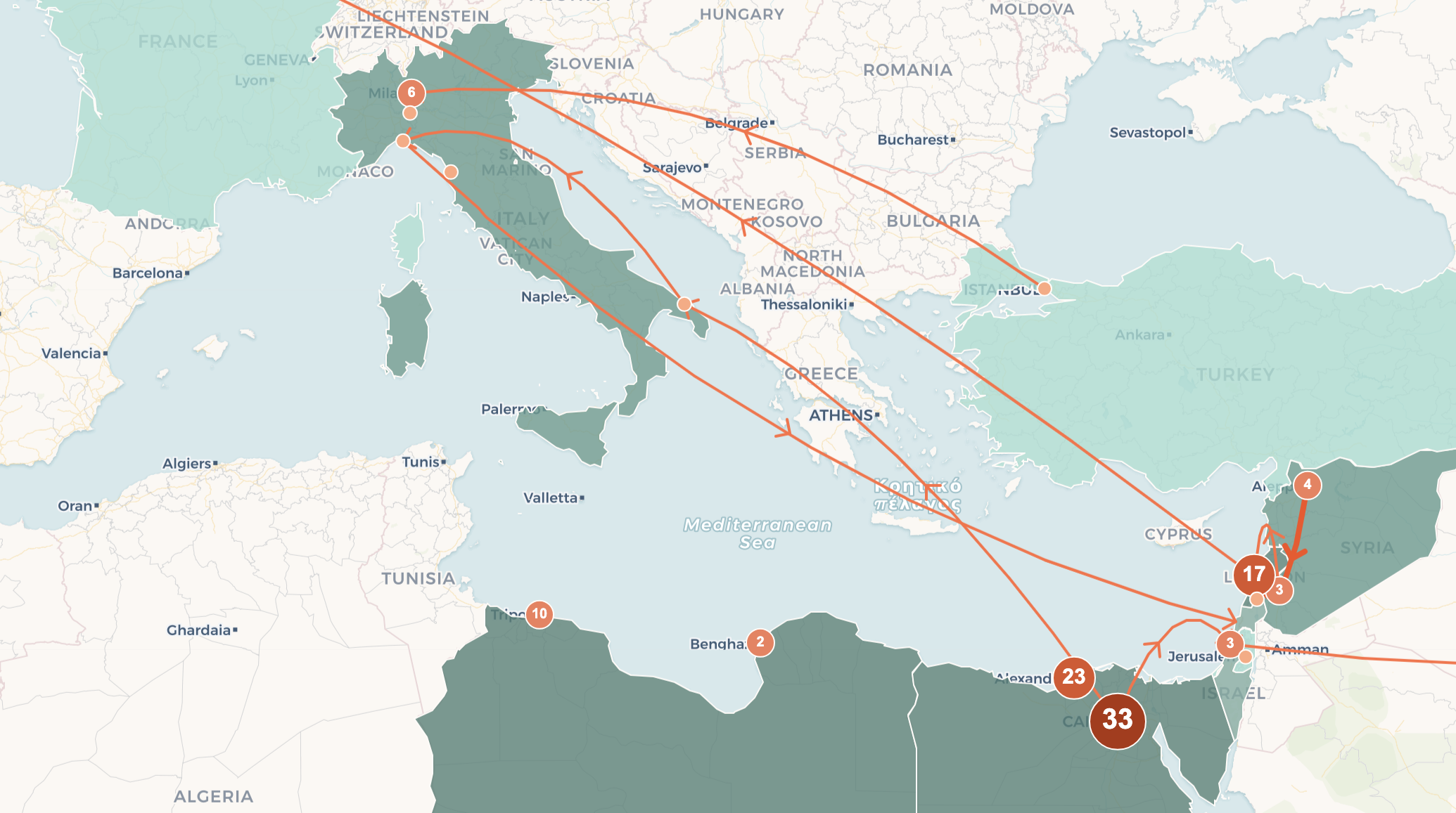
The digital map illustrates the migratory flows of Jews from the Middle East and North Africa to Milan, tracing their journeys across both space and time. It highlights intermediate stops prior to their arrival in Italy, offering valuable context that explains the reasons behind their departures from their home countries. By combining geographical data with personal narratives, this interactive tool provides a deeper insight into the challenges and aspirations that shaped these migrations.

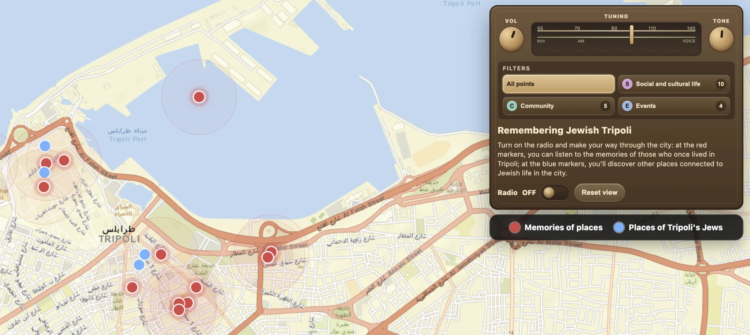
Remembering Jewish Tripoli

This map preserves the memory of Jewish life in Tripoli through the testimonies of those who lived it. Through the exploration of key places and the voices of its protagonists, it reveals the portrait of a once vibrant community deeply rooted in the city.